")
")
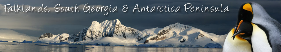
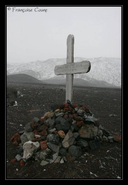
Deception Island is an island in the South Shetland Islands off the Antarctic Peninsula in Antarctica. It is notable for having one of the safest harbours in Antarctica, and for being a formerly active volcano, whose eruptions in 1967 and 1969 caused serious damage to the scientific stations there.
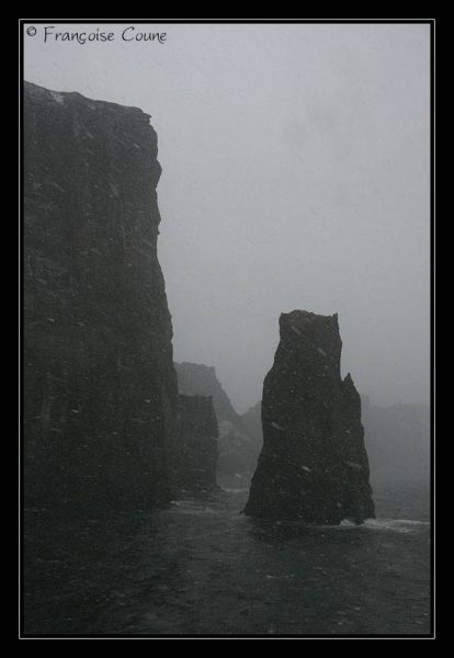
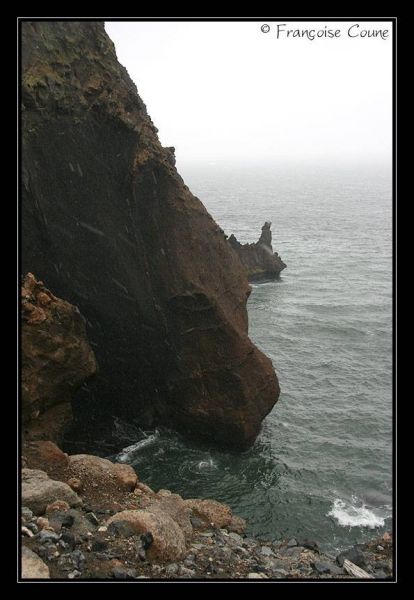
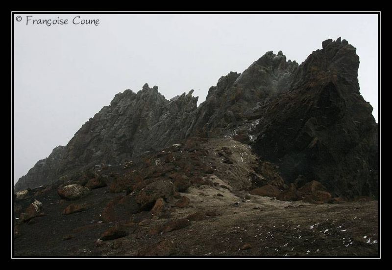
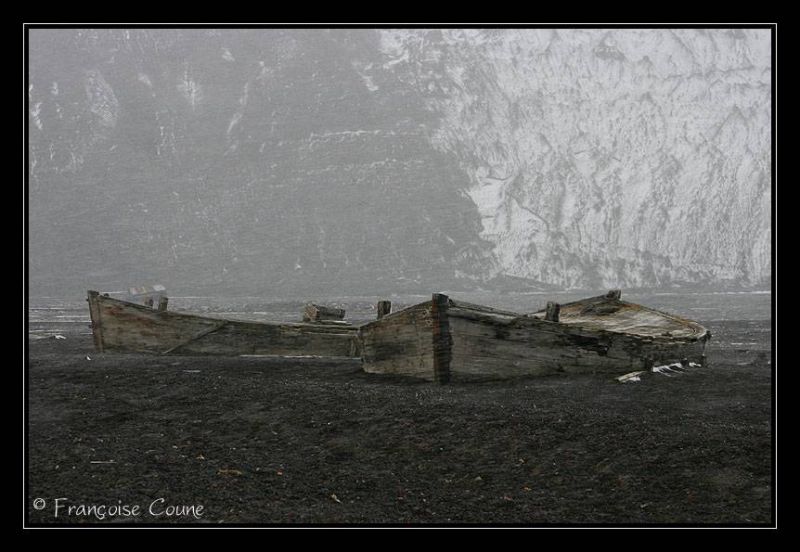
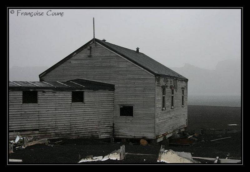
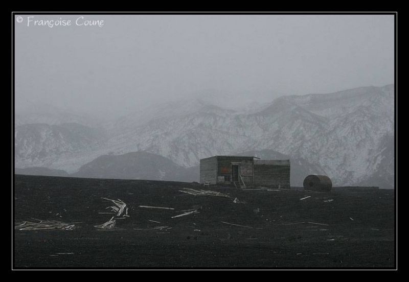
It is approximately circular, with a diameter of about 12 km (7 mi), and its highest point, Mt Pond, has an elevation of 542 m (1778 ft). The centre of the island is a large bay named Port Foster, about 9 km (5.5 mi) long and 6 km (3.6 mi) wide, thus covering most of the middle of the island. The bay has a narrow entrance, just 230 m (754 ft) wide, called Neptune's Bellows. Adding to the hazard is Ravn Rock, which lies 2.5 m (8 ft) below the water in the middle of the channel. Just inside Neptune's Bellows lies the cove Whalers' Bay, which is bordered by a large black sand beach.
It was given its name by the French explorer Jean-Baptiste Charcot due to the whaling activities undertaken in this bay in the 1900’s. The site has a flat, cinder beach which extends approximately 100 m (330 ft) inland before meeting the steep caldera wall and Neptune's window.
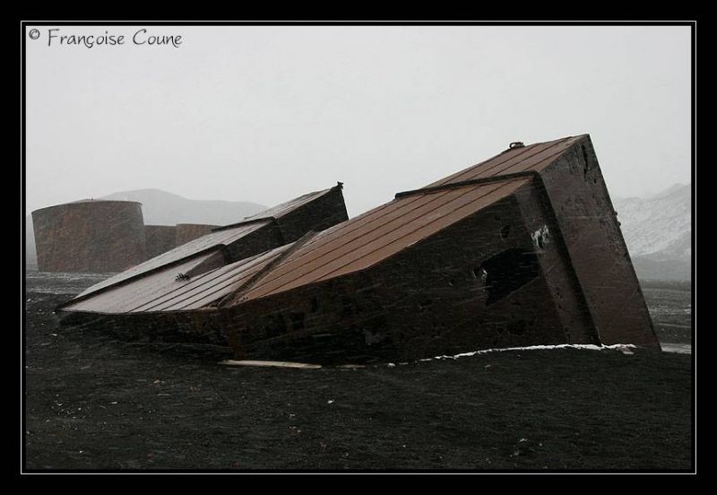
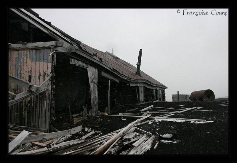
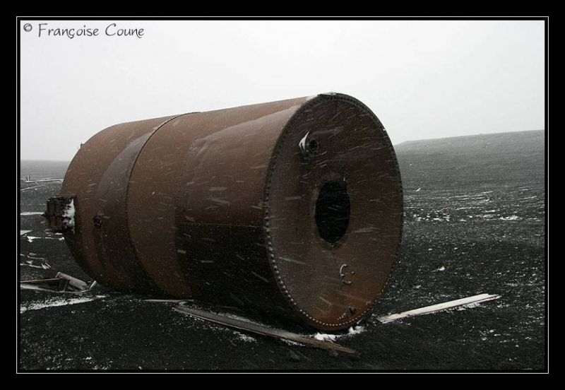
The only remaining signs of the whaling station are the rusting boilers and tanks.
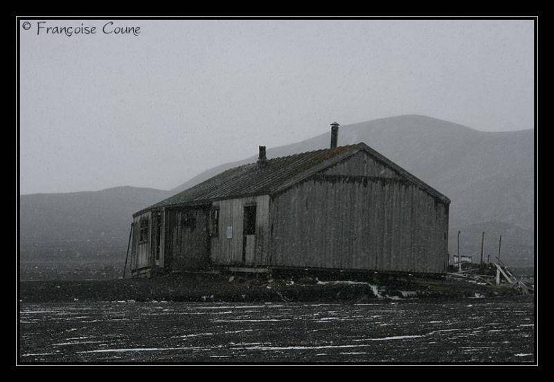
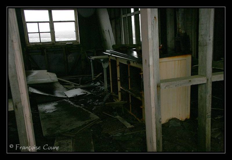
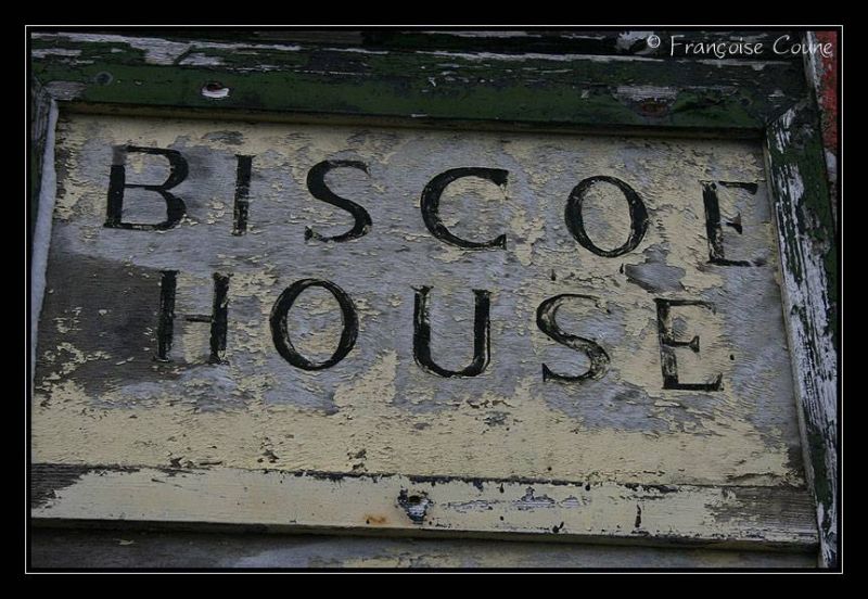
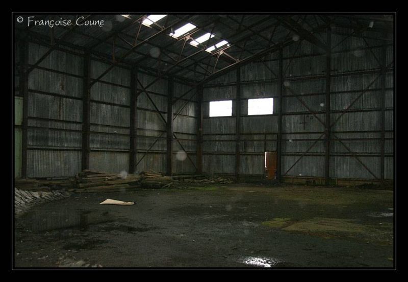
Other remains at Whalers' Bay include an aircraft hangar and the British scientific station house (Biscoe House), with the middle torn out by the mudflows in 1969 (evacuated in 1967).


